Subcontracting a defined scope
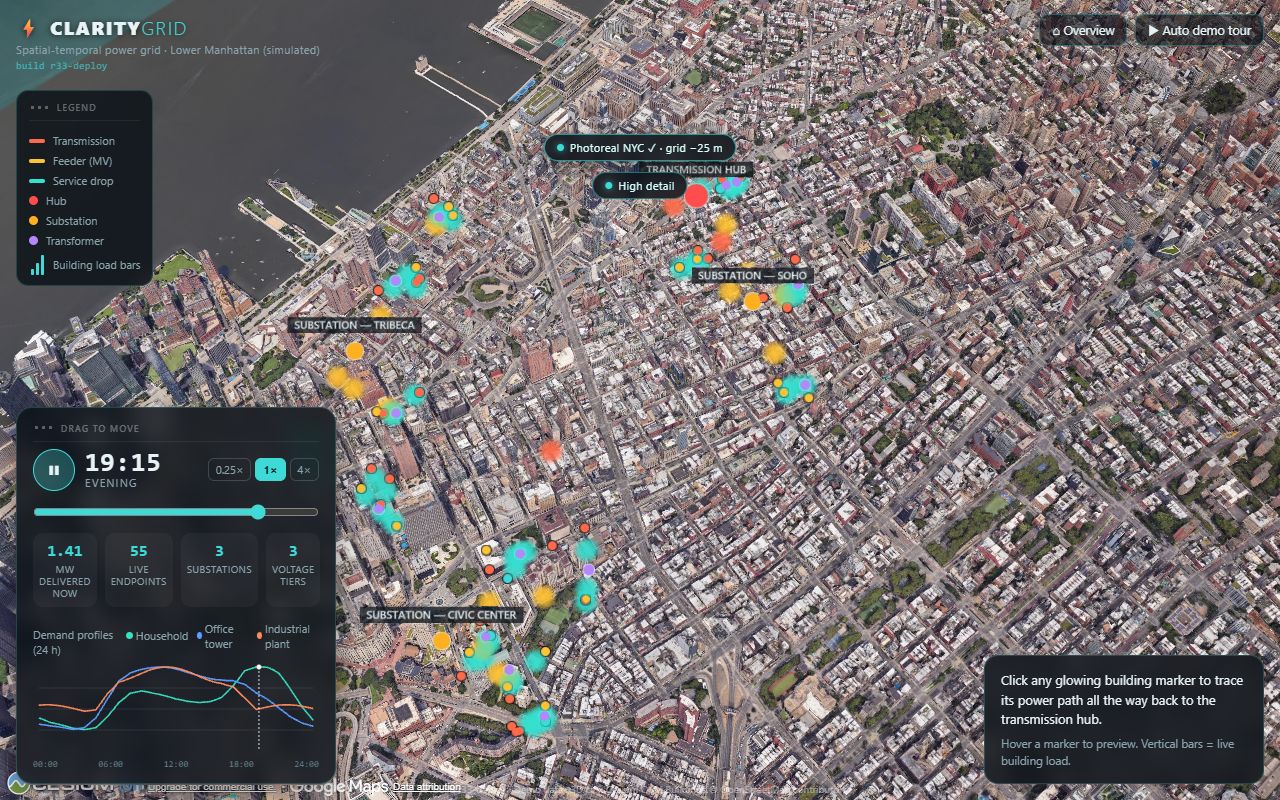
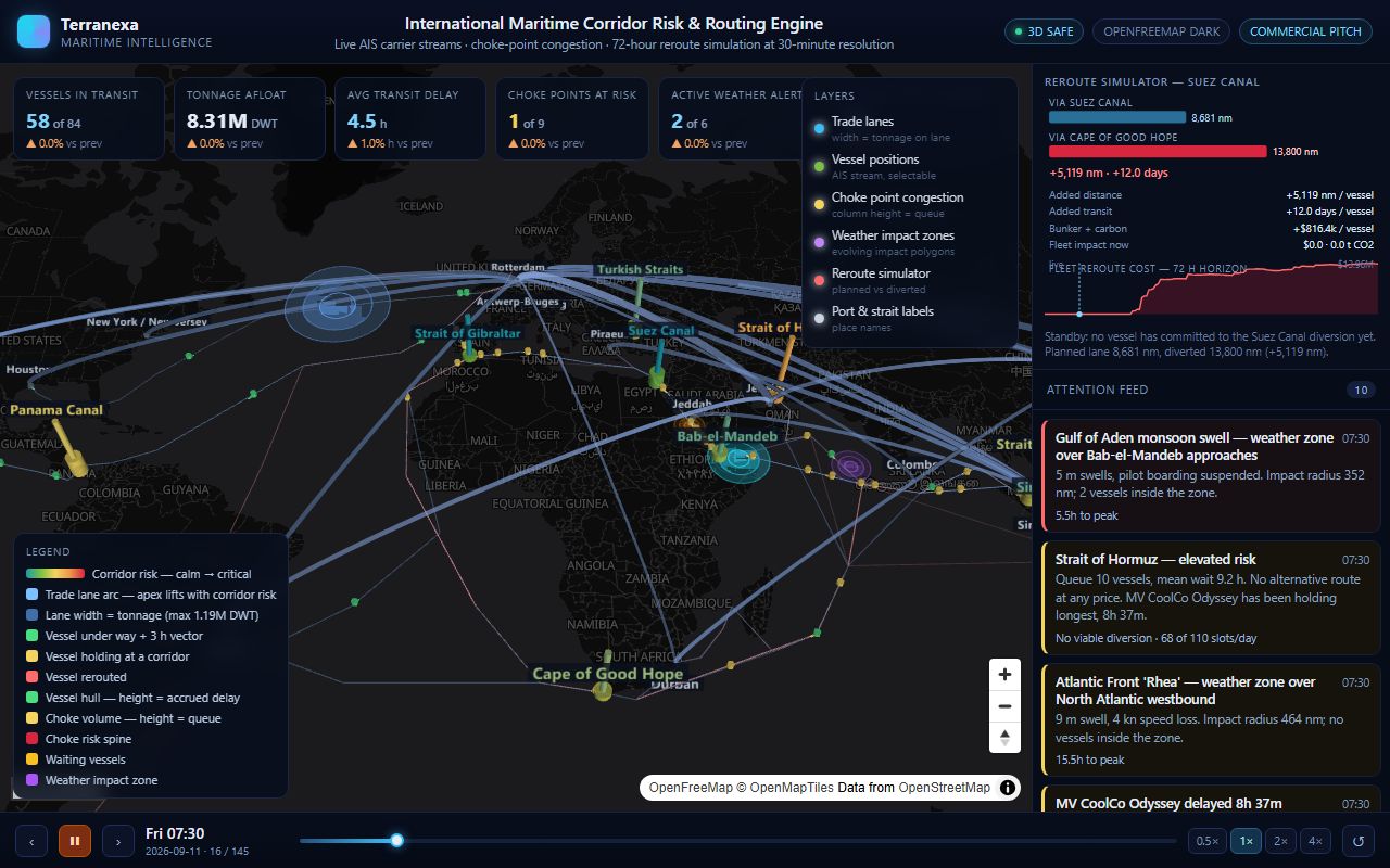
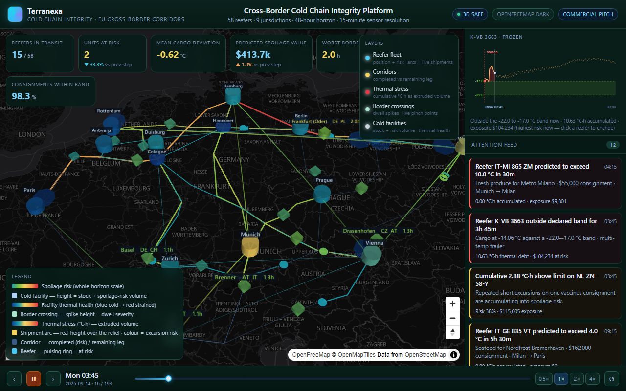
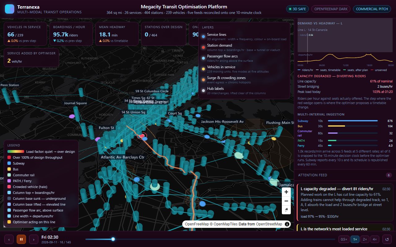
You have won the tender and the geospatial scope needs an execution team. We take the WebGIS and mapping modules — 3D visualisation, dashboards, spatial database, pipelines — against your specification, your schedule and your acceptance criteria, and report into your programme structure.
- Fixed scope and milestones, priced against your bill of quantities
- Deliverables in your formats, on your standards and naming conventions
- We work under your client-facing brand, or white-label where required
- Progress reported in your format on your cadence
Best fit — Tenders already awarded, with a defined geospatial work package.